Geoscience and Remote Sensing Society (GRSS)
Upcoming
Onsite
Other
Earth Observation and GeoAI for Climate-Resilient Urban Systems GRSS School
About This Event
Earth Observation and GeoAI for Climate-Resilient Urban Systems is an advanced school designed to equip the next generation of researchers, practitioners, and decision-makers with state-of-the-art Earth Observation (EO), geospatial artificial intelligence (GeoAI), and data fusion methodologies to analyze, quantify, and mitigate climate-driven risks and effects in urban systems.
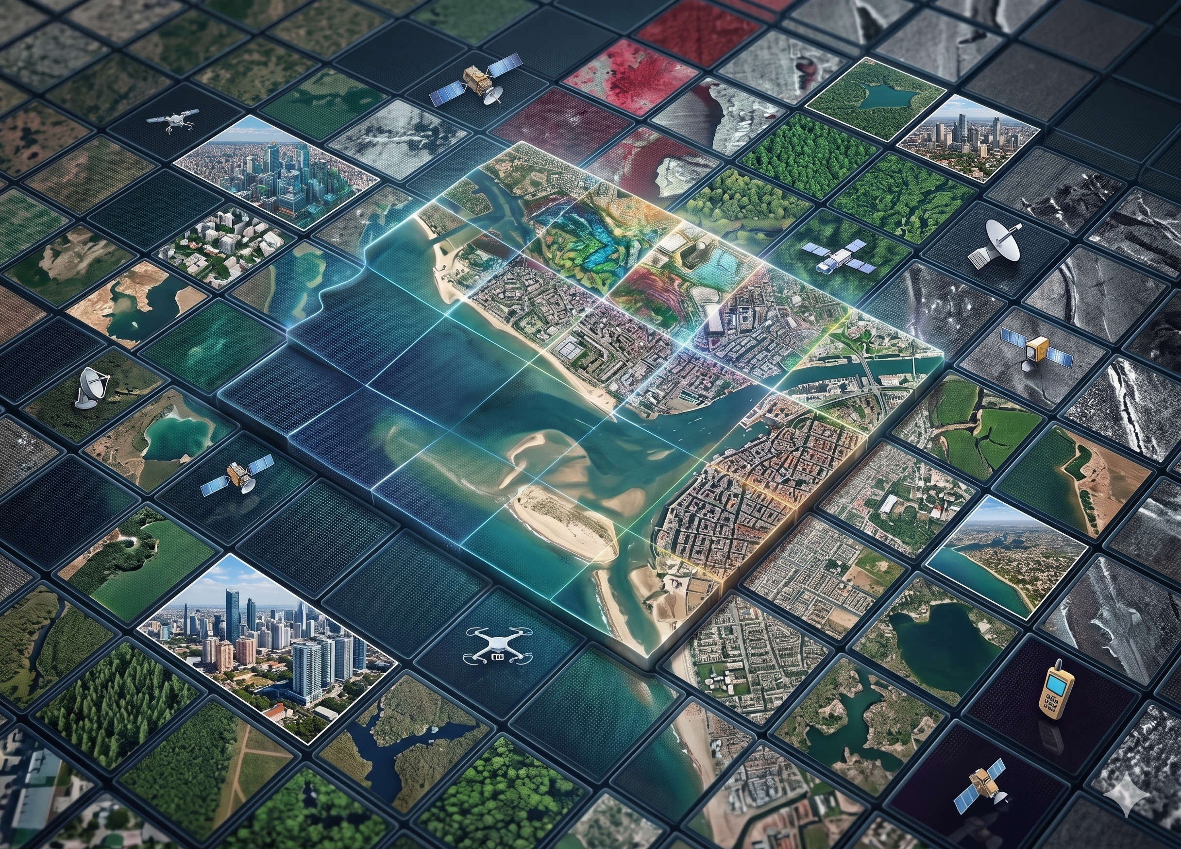
Within this framework, climate-resilient Urban Systems are understood as complex socio-technical systems composed of buildings, critical infrastructure, transportation networks, public spaces, and human communities. The program emphasizes how Earth Observation (EO), multi-sensor data fusion (including optical, SAR, and microwave EO), geospatial artificial intelligence (GeoAI), and participatory sensing can be integrated to strengthen urban resilience under conditions of climate change and multi-hazard exposure.
The school combines expert lectures, structured hands-on laboratories, and a Digital City Studio living-lab experience to advanced EO analytics, GeoAI model development, and operational decision-making contexts. Participants will work with satellite imagery (Sentinel, Landsat, SAR, microwave missions), airborne data, in-situ measurements, geo-social media data and human-generated datasets using open-source tools and AI-driven methodologies to develop scalable scalable, explainable, and transferable workflows for urban risk intelligence, infrastructure vulnerability assessment, and climate perception analysis.
Within this framework, climate-resilient Urban Systems are understood as complex socio-technical systems composed of buildings, critical infrastructure, transportation networks, public spaces, and human communities. The program emphasizes how Earth Observation (EO), multi-sensor data fusion (including optical, SAR, and microwave EO), geospatial artificial intelligence (GeoAI), and participatory sensing can be integrated to strengthen urban resilience under conditions of climate change and multi-hazard exposure.
The school combines expert lectures, structured hands-on laboratories, and a Digital City Studio living-lab experience to advanced EO analytics, GeoAI model development, and operational decision-making contexts. Participants will work with satellite imagery (Sentinel, Landsat, SAR, microwave missions), airborne data, in-situ measurements, geo-social media data and human-generated datasets using open-source tools and AI-driven methodologies to develop scalable scalable, explainable, and transferable workflows for urban risk intelligence, infrastructure vulnerability assessment, and climate perception analysis.
Additional Information
Quick Info
Organizer:
Chapter
Chapter:
Geoscience and Remote Sensing Society (GRSS)
Free Event
Upcoming Related Events